
DATA Tables
Table.1 )
Raw Data downloaded from the website before scaling or before selecting the important features
Account Number: The identification number of a property as it appears on the City’s records.
House Number: The unique number given to the property.
Street Name: The street name of the property.
Garage: Is there a garage on the lot - Y (YES) or N (NO)?
Neighbourhood ID: Unique number/identifier Number.
Neighbourhood: A geographical area as defined by the City of Edmonton.
Ward: The Municipal/City Ward that the home is located in.
Assessed Value: Latest total assessed value for the propertyNumber.
Latitude: Latitude co-ordinate for an account Number.
Longitude: Longitude co-ordinate for an account Number.
Point Location: Exact location of the property.
Assessment Class 1: Classification of the property under Section 297 of the Municipal Government Act and applicable to the City of Edmonton Sub-Class Bylaws. ("RESIDENTIAL" , "COMMERCIAL", "FARMLAND" ,"OTHER RESIDENTIAL", "NONRES MUNICIPAL/RES EDUCATION") The observations were converted to categorical levels with each of them occupying 1 to 5 numbers.
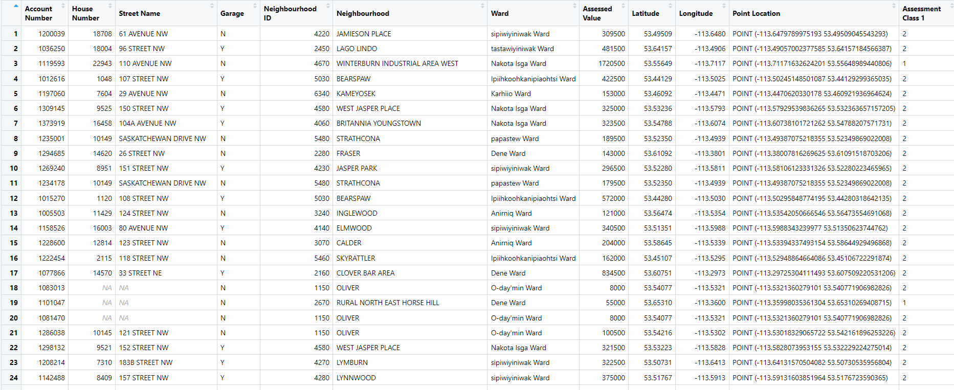
Fig. 7.1 : Table 1. Before Data Cleaning
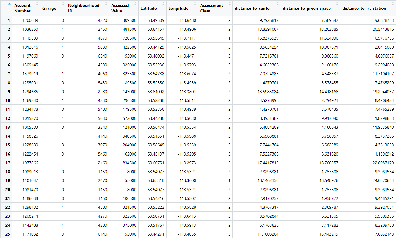
Fig. 7.2 : Table 2. Final table after scaling and cleaning up the table for prediction, account number was just kept for understanding. Garage was also converted to categorical variable ( Yes:1, No:0)
Calculation of Distances
The green spaces and LRT distances were calculated using the Google API map in RStudio using the package ggmap and geosphere and then the Haversine distance formula was used to calculated the distance from the property to the green spaces and the LRT station. I used Haversine distance as it offers more accurate results as compared to the Euclidean distance.
Disclaimer: This website's study design, data analysis, and subsequent results, discussion, and conclusions were created as part of a project for University of Alberta's Ren R 690 course. The assignment's parameters should not be construed outside of them because all data and findings are regarded as preliminary.
